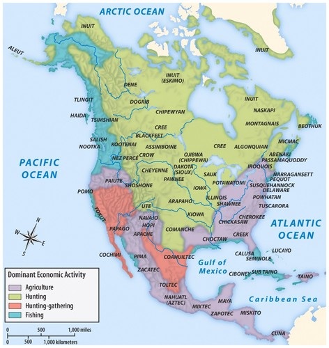
I can access, read, interpret, and create maps and other geographic representations as tools of analysis. Cartographers decide what information goes into the maps.

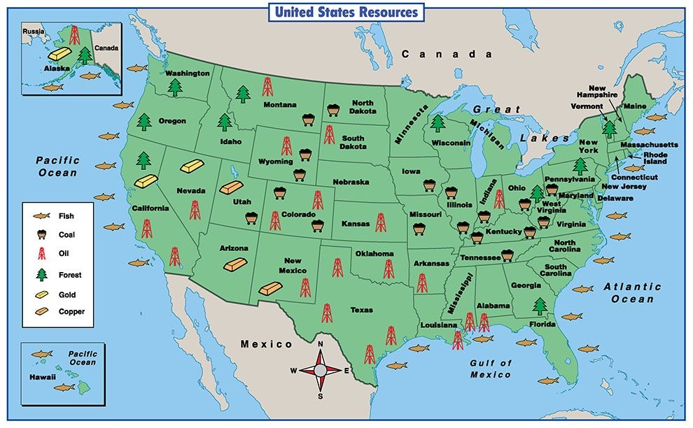
Notice that the fishing is located all around the edge of the United States and the islands since it is close to water!