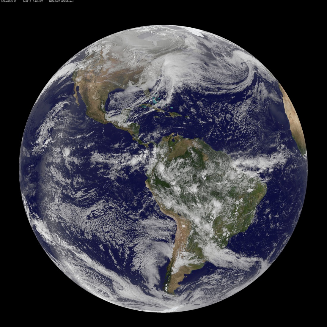
Globes
Diagrams
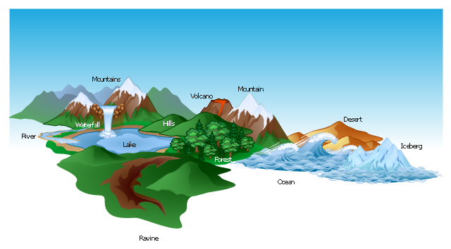
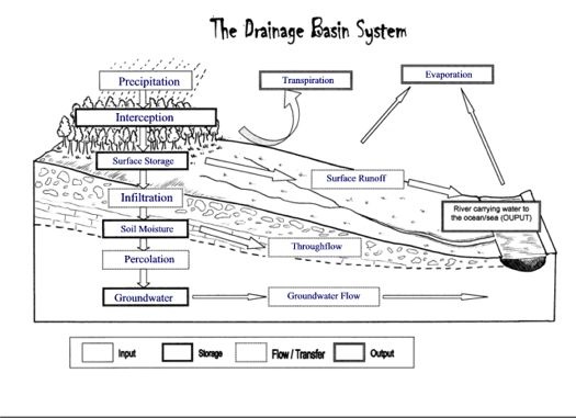
A diagram is a drawing, sketch, plan or chart that makes something easier to understand. They show how something works or the relationship between parts. The following are some examples of diagrams:
|
|

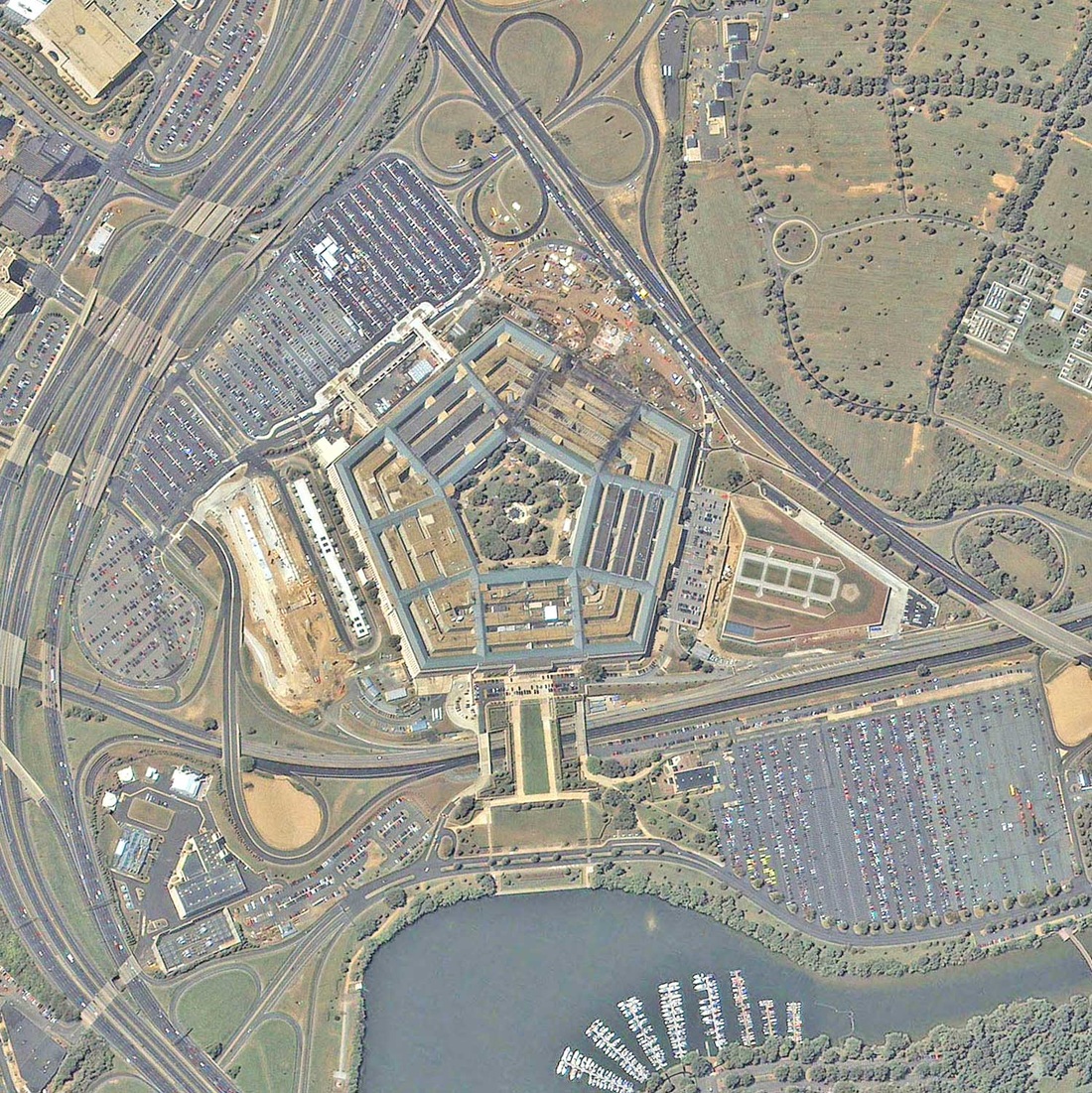
Aerial Photographs
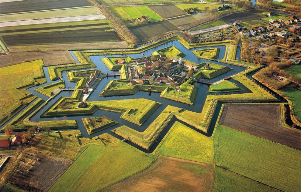
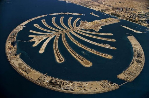
Aerial photographs show a view from above, like a map. These photographs may not show names of places or boundaries, but they can show us trees and buildings. Aerial photographs can show us places that it is hard for humans to explore like swamps and are taken from an airplane.
|
|

|

|
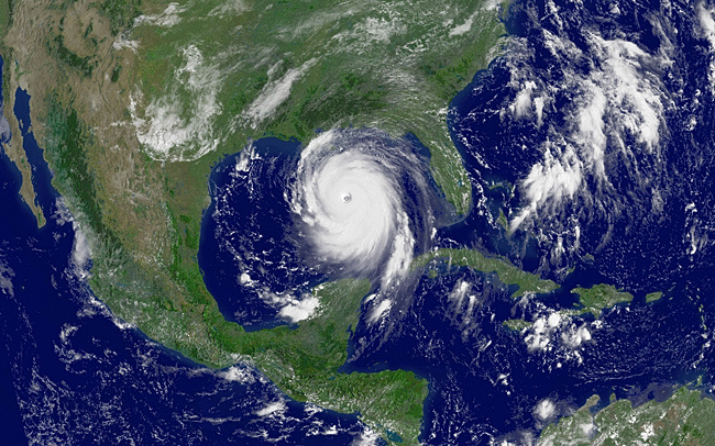
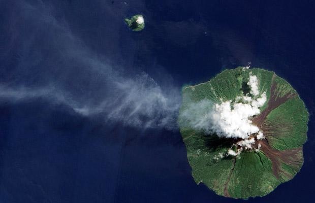
Digital Satellite Images
Digital satellite images also show views from above. Satellite images are taken from satellites in space. These are helpful tools to use to see how an area has changed over time due to events like deforestation or drought. The following are some digital satellite images.
|
|
